Usefulness of maps
Today´s technology has made new types of map usage possible. The map can be used in more media than ever before, such as on the web or on mobile devices (mobile phones, PDAs, etc.).
With this kind of map usage, different types of information are combined to provide services tailored for its purpose. Users can also make his/her own personal preferences, such to store their own favorite places shown when the map presents a particular area. It is also possible to obtain its own position marked in the map by connecting to a GPS receiver. The Department of Physical Geography and Ecosystem Sciences, in collaboration with the Faculty of Engineering and Land Survey, have done research to improve the usability of the maps used in these mapping services.
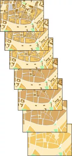
A study conducted aimed at defining dimensions that can be used to measure the perceived complexity of users in a presented map. Different measures can describe the map´s various properties: its objects and relationships between objects. The measurements are then compared with the results of user studies of the maps to derive the measurements that best describe the perceived complexity. These metrics can then be used to calculate the appropriate generalization degree for maps in various map services.
Contact information
Lars Harrie
Email: lars [dot] harrie [at] nateko [dot] lu [dot] se (lars[dot]harrie[at]nateko[dot]lu[dot]se)