Lund Earth Observation research group
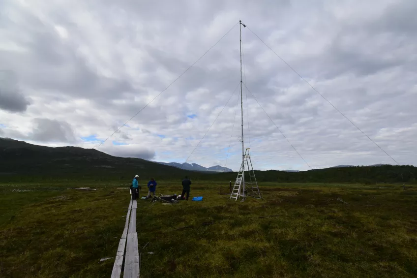
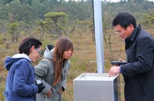
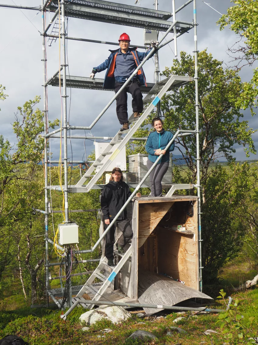
At the Department of Physical Geography and Ecosystem Science, research and education in remote sensing dates back to the early 1980’s. The emphasis is put on environmental land applications of remote sensing, particularly related to land cover and vegetation. Among the first studies, research related to African drylands and desertification was particularly important. The information received from earth satellites sometimes gave a different and more subtle understanding of the desertification processes than what was commonly accepted. In recent years, the department has carried out research in a wide array of application fields, with a focus on terrestrial ecosystem variations and processes, in order to increase the knowledge about how the systems operate and interact in the landscape. We are active in arctic, sub-arctic, boreal, temperate and tropical ecosystems, and combine satellite sensor data analysis with flux tower data (ICOS network), data collected with UAVs and ground validation data. Sources of ground validation data include a network of phenocams and data collected in the field with the use of spectroradiometers. Furthermore, we maintain a network of spectral instruments.
Our main fields of research are listed here:
Contact information
Lars Eklundh
lars [dot] eklundh [at] nateko [dot] lu [dot] se
Phone: +46462229655