Spectral measurements
The way in which an object interacts with the sun radiation is known as spectral response of the object. Different objects on the Earth’s surface have their own, unique spectral response, which depend on the physical and chemical properties of each object. This response refers to the way in which an object reflects or absorbs electromagnetic radiation in the different regions of the electromagnetic spectrum, i.e. light from the sun. The graphical expression of this response is known as a spectral signature. Knowledge about spectral signatures is useful when interpreting data from Earth observing satellites.
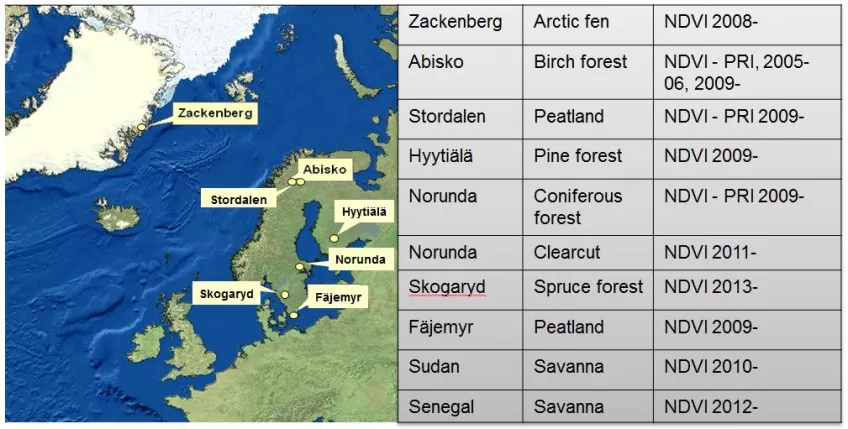
Spectral signatures can be directly measured with the use of spectrometers and spectroradiometers. We use spectral measurements in order to obtain information about the spectral response of ground materials and land vegetation phenology, as a reference for satellite measurements. We are establishing a network of spectral sites for continuous monitoring of vegetation close to carbon flux towers. The aim of these measurements is to obtain calibration and validation data and to better understand satellite measurements. Currently, we conduct measurements at a number of locations across Fennoscandia (see map below), and other regions such as Greenland and Sudan. More about the network is given in Eklundh et al. (2011).
Equipment
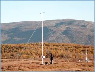
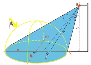
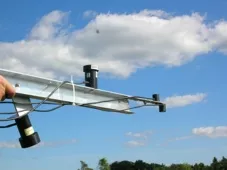
We have installed multispectral instruments on towers above the canopies, and tilted the instrument in order to measure within the footprint areas of current flux towers. These instruments measure incoming and reflected radiation in the green, red and near-infrared (NIR), and short-wave infrared (SWIR) wavelengths, for estimation of vegetation indices like the normalized vegetation index (NDVI), the photochemical reflectance index (PRI), and our newly formulated plant phenology index (PPI; Jin and Eklundh, 2014a). We also measure incoming, reflected and intercepted broad-band photosynthetically active radiation (PAR) for estimation of the fraction of incoming photosynthetically active radiation absorbed by vegetation (FAPAR). We also carry out field campaigns in selected study areas, measuring with handheld spectroradiometers.
To maintain accurate long-term measurements we have developed an in-situ method for calibrating radiation instruments (Jin and Eklundh 2014b).
International and national collaboration projects
Our spectral measurements are part of the following international networks:
- Our network for multispectral measurements NordSpec
- Swedish Infrastructure for Ecosystem Science: SITES Spectral
- EU collaboration project COST project CA17134 SENSECO
- International spectral network: SPECNET
Older projects:
Contact information
Lars Eklundh
lars [dot] eklundh [at] nateko [dot] lu [dot] se
Phone: +46462229655


