What is it that you will be working with?
– Geospatial data comprises a large part of today’s big data landscape. This data is a cornerstone for digital representations of urban and rural environments, and can serve as nexus for other types of information. This project is dedicated to study approaches for integrating geospatial data in knowledge graphs, that is linked data, particularly entity alignment, to find correspondence relations between geospatial entities in different knowledge graphs.
Why does this interest you?
– This project lies in the conjunction of several rapidly developing research areas, i.e., geographic information science, knowledge graphs, and artificial intelligence. Unlike previous rule-based approaches, which are sometimes inefficient and impractical, this project will leverage machine learning techniques for knowledge graphs, that is, knowledge representation learning, with the hope of unravelling the limitations of rule-based approaches.
Why Singapore?
– The NTU in Singapore is strong in some cutting-edge technologies such as machine/deep learning. My host at NTU will be Professor Gao Cong at the School of Computer Science and Engineering – a well-known computer scientist dedicated to study geospatial information. We hope that this setting will be an ideal incubator for my future career in research and that this could foster meaningful connections between the geospatial information research at INES and the computer science research at NTU.
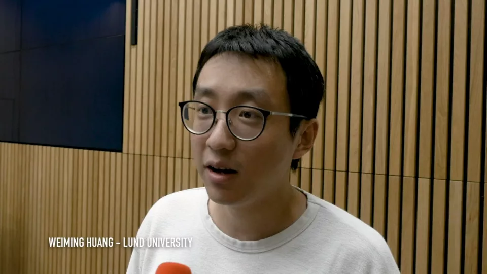
Weiming Huang’s postdoc project is entitled “Towards a knowledge graph for locations: geospatial data integration with knowledge representation learning”. After two years at the Nanyang Technological University (NTU) in Singapore, the project will continue at the department of Physical Geography and Ecosystem Science (INES) at Lund University.


