Last week, on November 13th 2019, the Department of Physical Geography and Ecosystem Science celebrated GIS Day.
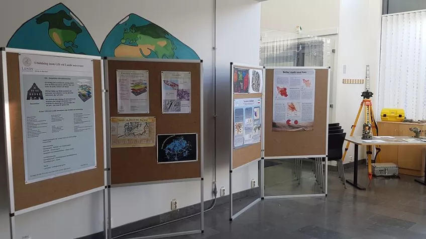
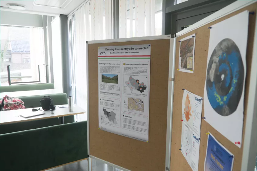
On this occasion, for the first time in the department's history, students of the department, having the support of EGEA Lund, organized a small exhibition with the theme "Spatial Data - collection, processing and final products".
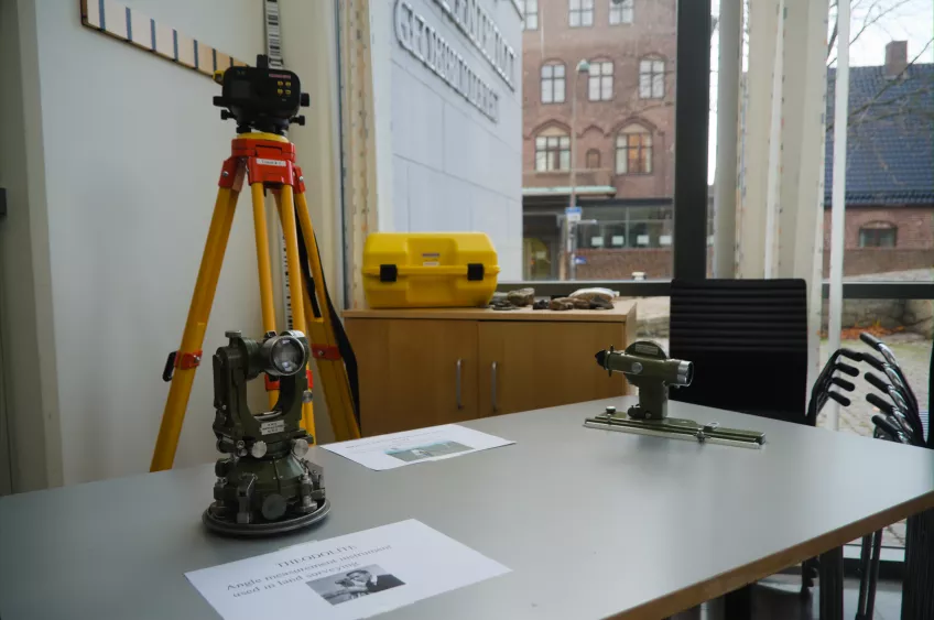
Using a projection, these students explained the increasing importance of Geomatics for society. Land surveying equipment, student maps, consultancy projects, as well as advanced 3D representations were among the displayed items.
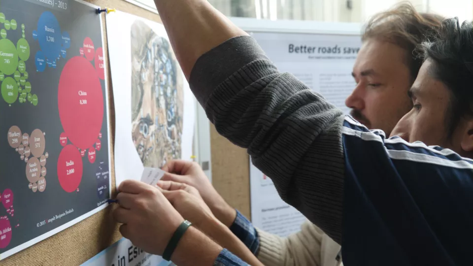
Below are some photographs taken during the exhibition.