The Geodata Council consists of representatives of government agencies responsible for the collection and management of geographical data, and four members appointed personally by the government. Lars Harrie is appointed as one of these four. He is active at the GIS center, a center formation at Lund University that works for the development and use of geographical data in research and teaching. The GIS center is organizationally under the Department of Physical Geography and Ecosystem Science, but has the coordinating role for geographical data throughout Lund University.
Interdisciplinary efforts in future city models
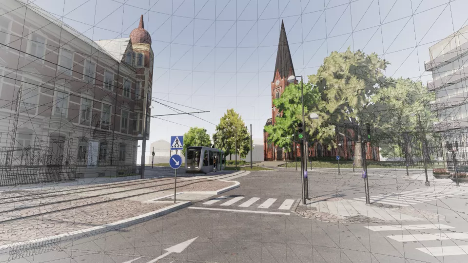
An example of the interdisciplinary use of geographical data is a research collaboration between researchers at GIS (INES), architects (LTH) and epidemiologists (Faculty of Medicine), led by Lars Harrie. The project is funded by Formas and the purpose is to improve the possibility of, and harmonization of, simulations of sunlight and noise when planning urban densification. Such simulations require a digital 3D model of the city as well as models for how noise and solar energy propagates. The focus of this collaborative project is to evaluate what data is required for the simulations, and to provide recommendations on data quality. Furthermore, studies need to be carried out to ensure the availability of data on a national level. This requires that data is included in the specifications that are being developed for future city models, often referred to as digital twins, in Sweden. For this purpose is another collaboration project, funded by Smart Built Environment, where a research group at INES works together with the city administrations in Stockholm, Gothenburg and Malmö, with the aim of establishing the base for future city models in Sweden.
Increased demand for information and skills
Describing the urban environments with 3D maps and simulations will become more common, according to Lars Harrie. There have been 3D city models for visualizations for a long time, but those models are not adapted for analyzes and simulations. 3D models for analyzes and/or simulations of the city are now emerging in in urban planning applications, such as physical planning and construction of buildings. Within these application areas, there are large research initiatives by e.g. research council. Applications of 3D urban models are also increasingly interesting for other research areas within INES, such as hydrological models in rainfall studies, urban ecosystem services and dispersion models of carbon dioxide and particles (of interest especially for the research infrastructure ICOS that will start making CO2 measurements in urban environments). Within Lund University, there are several other research areas that are interested in 3D city models, such as archeology, image analysis, (public) transport and information technology.
- It is important for us to keep up with the development, in both research and teaching. Within INES, we currently conduct many projects, both development and research, with external parties, but we see a potential to grow through collaboration with more actors. When it comes to teaching it takes time to bring in new elements, but there is a demand, not least from employers, says Lars Harrie.
Lars Harrie will take up the position as a member of the Geodata Council after the summer, as the representative of universities and colleges.
If you want to discuss geographical data for research and teaching you can contact him on lars [dot] harrie [at] nateko [dot] lu [dot] se.